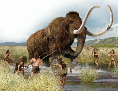
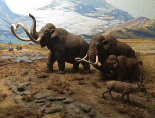
For the last 2.5 million years, Vermont has been in and out of ice ages (8 to be somewhat exact). The most recent ice age ended officially about 11,700 years ago (this time officially marks the end of the Pleistocene), but it wasn’t for another couple thousand years until Vermont saw its first real forests sprout up from the cold, stony soils. Over the next few weeks I’ll be doing a deep dive into how Vermont’s forests have changed and evolved since the silent retreat of the glaciers. We’ll look at the hypsithermal, invasive species, introduced diseases, and lots more. So buckle up, tree enthusiasts!
It is difficult to overstate the impact that glaciers have had on Vermont’s landscape. During the Last Glacial Period (115,000-11,700 years ago) – the official name for the most recent wave of the Quaternary Glaciation – our entire landscape was scoured clean by a continental glacier known as the Laurentide Ice Sheet. The enormity of the ice sheet is nearly unfathomable. It covered most of Canada and extended as far south as Long Island here in the east. At the glacial maximum some 25,000 years ago, if you stood on the summit of Mt Mansfield (Mozdebiwajo) – Vermont’s highest peak at 4,395’ – you would still be under nearly 1,000’ of glacial ice. To the north, the glaciers were more than two miles thick. And they were heavy – just a single square foot stacked one mile thick with ice weighs about 250,000 pounds. So heavy were these glaciers that the continent actually buckled under its weight and the continent was depressed down into the underlying asthenosphere – the upper layer of the mantle that bends and moves like a plastic – some 1,000’!
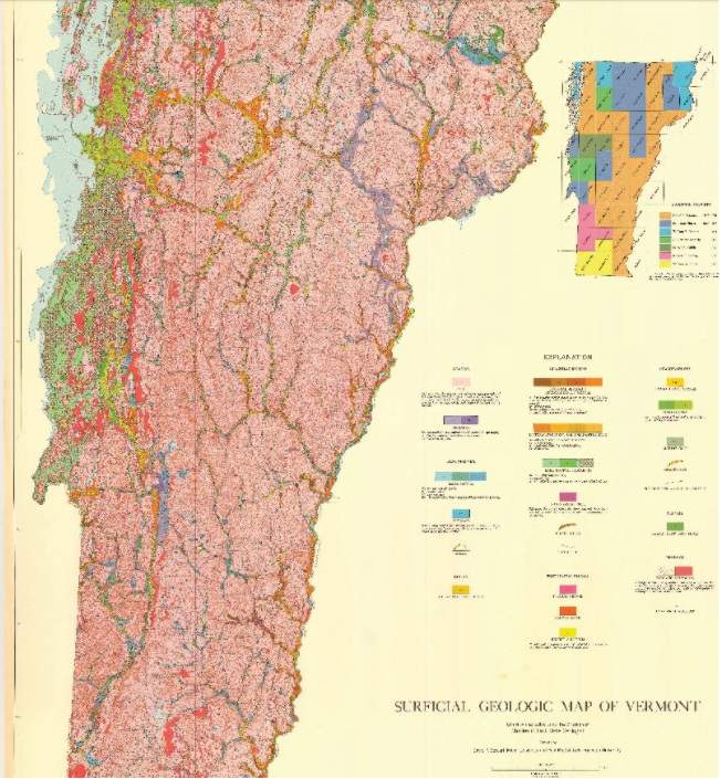
As more and more snow accumulated at the center of the ice sheet, the margins were pushed ever outward (imagine pushing down on a ball of dough and squeezing the edges outward). This advancing ice sheet acted much like a snowplow with it’s blade set too low. It plucked boulders from the bedrock, which, once caught in the ice, acted like sandpaper further grinding down the once Himalayan-sized Green Mountains down to gentle hills. The boulders were fractured, broken, and crumbled into smaller and smaller pieces and transported along with the moving glaciers. Beneath the moving ice, a hard packed, unsorted jumble of rocks, sands, silts, and clays, called glacial till (or hardpan to the early hill farmers), was pasted down atop the entire state. In the image below, you’ll notice that the vast majority of soils in the state are derived from glacial till.
Eventually the climate warmed and tipped the scales where more ice was melting than accumulating in each winter, and the glaciers began their slow retreat northward, though retreat is more of a misnomer. Glaciers certainly move, something captured heroically by James Balog, the artist and climate activist behind the Extreme Ice Survey, who has captured timelapse videos of glacial movement. An advancing glacier can travel great distances – glacial erratics transported on the underside of the ice can be displaced up to 20 or so miles. But a glacier in retreat is really just a glacier melting away near its margins. Left behind are the telltale signs of their passing: eskers, kettle ponds, glacial erratics, and kames. The end of the ice age was precipitated by several factors: massive amounts of methane, a potent greenhouse gas, released in the Barents Sea, a general rise in atmospheric CO2, and the Milankovitch cycles aligned to warm the earth (more on this to come).
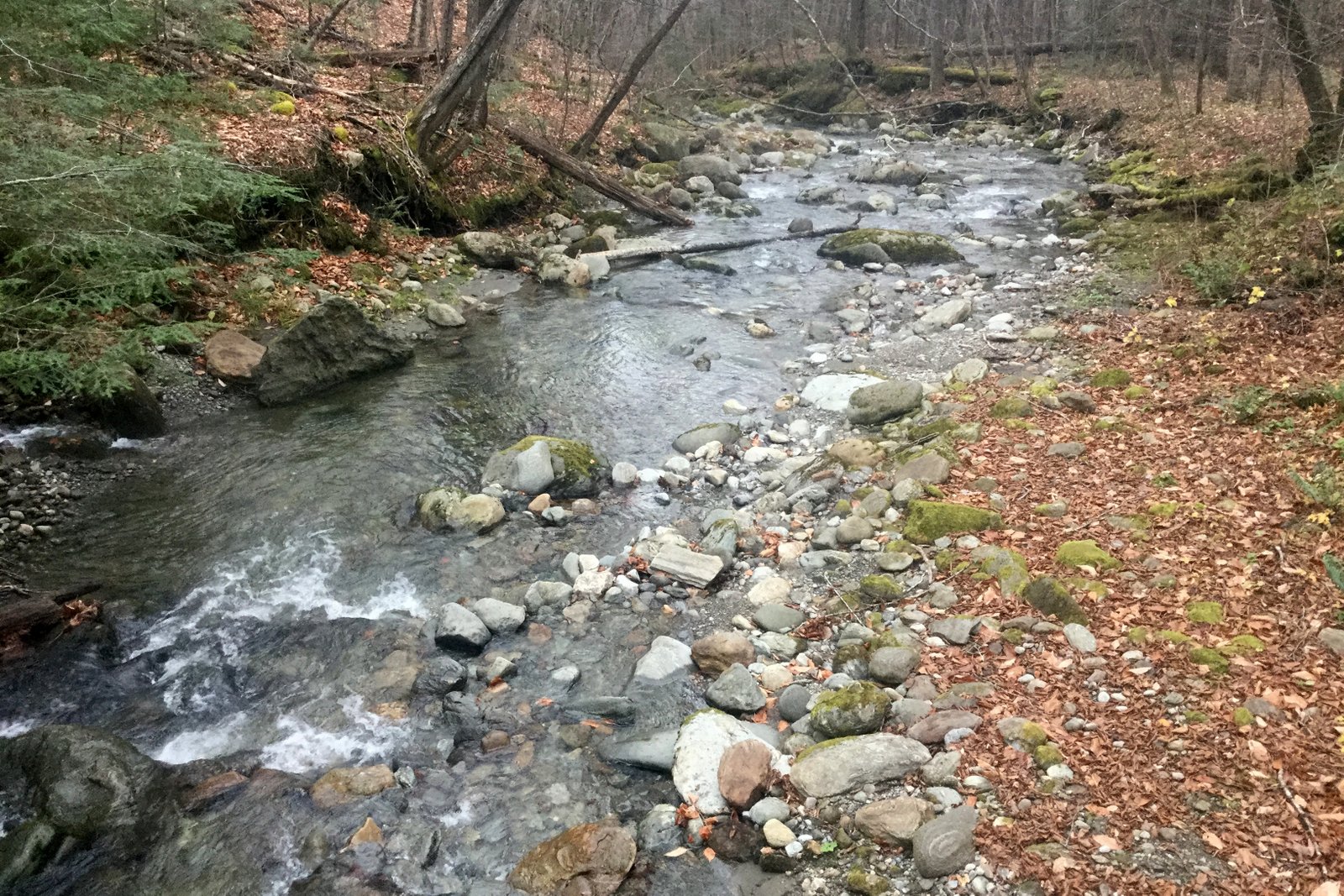
The glacial ice was anything but pure water, and as it melted, it released all of the rocks, sands, silts, and clays entrained, or caught up, in the ice. Not only were these sediments deposited wherever meltwater pooled and/or flowed, but both these sediments and the remaining glacial till still coating the bedrock were sorted in the process: lake bottoms filled with varved layers of silts and clays, rivers were flanked by sandy banks and underlain by gavel and boulders, backwater floodplains of large rivers got an annual patina of silt. Where glaciers to the north blocked the drainage of meltwater, large glacial lakes formed (like Glacial Lake Vermont in the Champlain Valley, Glacial Lake Hitchcock in the Connecticut River valley, and Glacial Lake Winooski in the Montpelier region) – sands were deposited along the shorelines, silts and clays in deep waters, and deltas formed where modern rivers drained into these lakes. This would be the backdrop against which the first plants in Vermont in over 100,000 years would paint our landscape varying shades of greens.