Gentle Topography
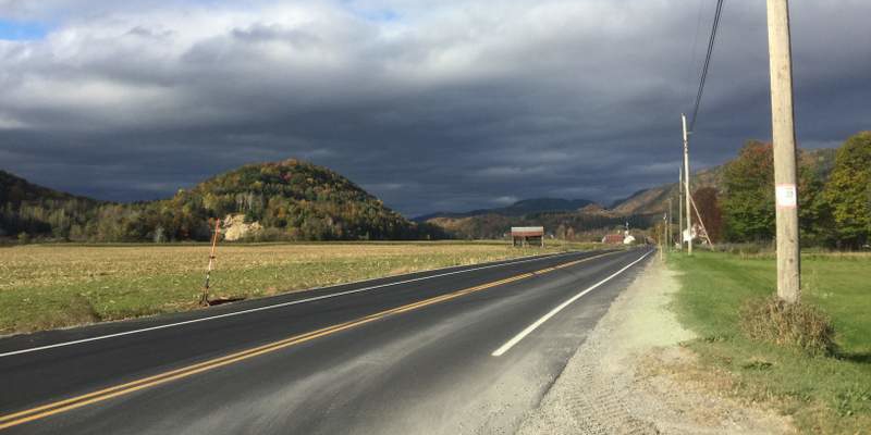
New England has been on the passive margin of the North American plate (like the rear end of the car in a head-on collision; the west coast is the active margin, speeding head first towards the Eurasian and Pacifc plates. This is why all the big earthquakes and volcanoes are on that coast). We’ve been the passive margin of the continent ever since Pangea broke apart ~200 million years ago. When Vermont was part of Pangea our landscape was epic, Himalaya-size epic. Giant craggy peaks reaching 20,000’+ up into the clouds.
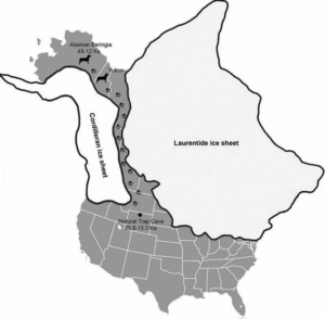
Without earthquakes from that continental collision to push our mountains ever higher, those big Himalaya-size and shaped mountains began to break down. And slowly over time their impressiveness started to dwindle. While 200 million years did much to soften the terrain, what would make New England a pleasing and mild landscape rather than an impressive craggy montane region was the Quaternary Glaciation. This prolonged period of Ice Ages coming and going a dozen or so times began about 2 million years ago and ended about 25,000 years ago.

Rôche moutonnée
For the longest time I had trouble finding information on my favorite geologic feature (favorite as ranked by name): rôche moutonnée, mostly because I’d been calling it a “moosh routinay” for years. I first encountered this feature in 2007 on a geology trip to Mammoth Lakes in California. I (mis)remembered the term and translation as “Lamb’s Leg,” supposedly because the feature looks like, well, a roasted lamb’s leg. Memory’s a funny thing.
Well, I don’t eat meat and I don’t speak French, so it didn’t dawn on me that I was wrong until I tried looking up something about “moosh routinays” recently and couldn’t find anything. I asked my friend, geologist Justin Strauss, and he looked puzzled at first and then laughed as he corrected me: “Rôche moutonnée – sheep rock.” Which explains why I couldn’t find any information when I searched for “moosh routinay” and then “Lamb + leg + geology + glacier.”
Turns out also that “sheep rock” isn’t right either, at least for translation, as the first geologist to describe the feature didn’t think they looked like sheep sleeping in a field. Apparently Horace-Benedict de Saussure, the 18th century French explorer thought this landscape feature looked like stylish wigs of French gentry, carefully fixed into place with mutton fat. So there you have it. Still my favorite term. So now onto how they form…
Rôche moutonnées form as a glacier flows over bedrock. As mentioned previously, sediments entrained in the flowing ice abrade and polish the bedrock on the stoss side (facing towards the moving glacier) and pluck rocks off the lee side (facing away from the moving glacier). Abrasion on the stoss side gives the bedrock a soft gentle slope, and where the plucked rocks are removed on the lee side you get a very steep slope (about 10x more materials is fractured off the lee side). These features can exist at different scales. Looking across to the Adirondacks, most of the peaks exhibit this pattern – a gentle north-facing slope and a sharp drop to the south. But looking at a small section of exposed bedrock on the summit of Deer Leap in Bristol you can see the same feature on a much smaller scale
A similar feature in soft sediments
You see the same process occurring in stream beds as well. As water flows downstream over sand it creates ripples in the sediments with a long shallow incline sloping upstream towards the oncoming water with steep slopes on the downstream side. This is actually one way you can tell a tidal environment from a riverine one when looking at sedimentary rocks. Asymmetry in cross-section means water was flowing in one direction, symmetrical peaks/troughs means the water was going in and out (like at a beach). The sediments below are from the Winooski River delta when it flowed in Glacial Lake Vermont 13,500 years ago.


