Gentle Topography
New England has been on the passive margin of the North American plate (the rear end of the car, west coast is the active margin, speeding head first towards the Eurasian and Pacifc plates, which is why all the big earthquakes and volcanoes are on that coast). We’ve been the passive margin of continent ever since Pangea broke apart 200 million years ago. When Vermont was part of Pangea we were epic, Himalaya-size epic. Giant craggy peaks reach up into the clouds.
Without earthquakes from continental collisions to push our mountains ever higher, those big Himalaya-size and shaped mountains began to erode. And slowly over time their impressiveness started to dwindle. 200 million years softened the terrain, for sure, but the last nail in the coffin that would make New England a pleasing and mild landscape rather than an impressive craggy montane region was the Quaternary Glaciation. This prolonged period of Ice Ages coming and going a dozen or so times began about 2 million years ago, ending about 25,000 years ago.
The repeated assault of advancing glaciers inexorably ground away at our mountains. And these were big continental glaciers, ice sheets, a mile + thick in Vermont. While valley glaciers tend to forge all sorts of awesome jagged mountain features like horns, aretes, and cirques, continental glaciers (like the Laurentide Ice Sheet that covered Vermont) tend to grind down and round over topographical features. Yes, the Green Mountains are tall, but they’re not nearly as tall as similar mountains down south of the terminus of the glacier in the Blue Ridge and Smoky Mountains. All of our mountains would have been ‘submerged’ under the ice flowing overhead and received a nice smoothing out.
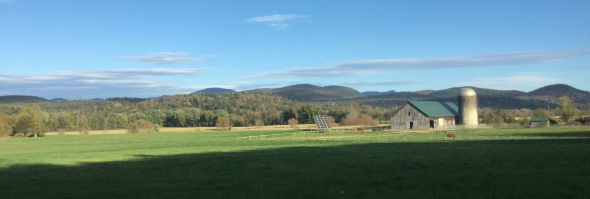
Examples of our gentle terrain